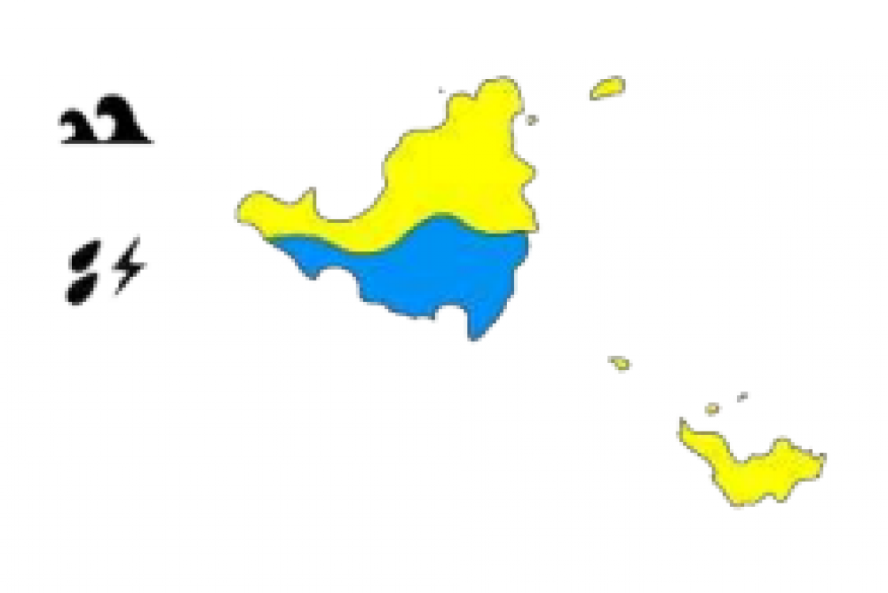
Tropical Wave: A yellow alert has been declared in Saint-Martin due to violent winds and dangerous seas along the coast.
Tropical wave n°36, which is very active, is about 450km east of Barbados, reported Météo France in its bulletin on Wednesday at 6 am.
It's approaching the West Indies arc while gaining strength. There are still high chances of it transforming into an extratropical cyclone or a tropical storm in the next few hours. The system is heading in a westerly to a west-north-westerly direction at approximately 30km/h. Its center would then pass over St. Lucia.
The most active part of this phenomenon, including the rains, is primarily aimed towards the southern half of the West Indies arc starting on Wednesday morning, but the wind and sea conditions will deteriorate all the way to the north of the Lesser Antilles, including St-Martin and St-Barthélemy, starting from midday.
The wind in the east-north-east area will progressively strengthen and reach 35 to 45 km/h and then it will go up a notch on Wednesday afternoon and the following night and reach an average wing speed of 40 to 50 km/h. Local thunderstorms at the end of the day and night from Wednesday to Thursday may cause 60-80 km/h gusts of wind. A lull will begin at the end of the night.
The sea will also deteriorate under the effect of the wind. It will become strong and choppy with 3m - 3m50 troughs on Wednesday afternoon and during the night from Wednesday to Thursday in an easterly swell. An improvement will be visible at the end of the night from Wednesday to Thursday.
Guadeloupe and Martinique are on orange alert.


